The screenshots below are made in X-Plane with all mesh (also the default) disabled. X-Plane renders water instead, which makes perfectly visible what is actually loaded with a scenery package.
Airport polygon (DrapedOrtho)
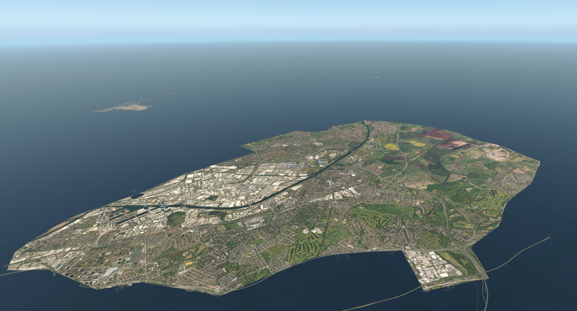
This is an example of an airport ‘mesh’ (airport and city), that is made by using a polygon with satellite images:
Airport mesh
Here you see a ‘real’ airport mesh. Notice that it consists of a whole 1×1 degree tile (the screenshot is more zoomed out than the screenshot above):